Product Catalog

Hydrophone made in China
WeChat:13580445426
phone:KangXiuHao 13580445426
email:haikangocean@foxmail.com
address:Room 137-141, No. 401, Tianyuan Road, Tianhe District, Guangzhou
side scan sonar
HOME > PRODUCT > marine geodesy and cartography > side scan sonar
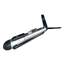
Shark-S450D Side Scan Sonar
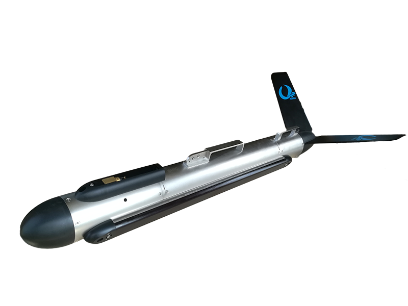
Shark-S450D Dual Frequency Side Scan Sonar
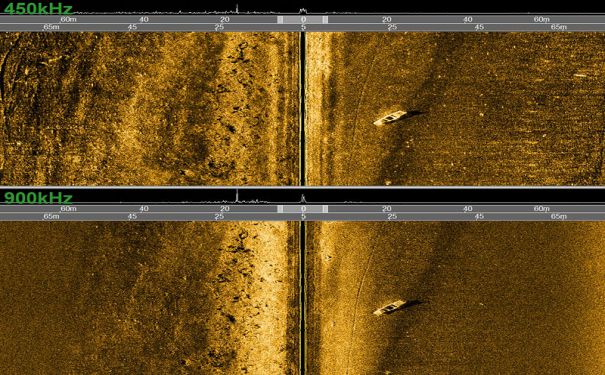
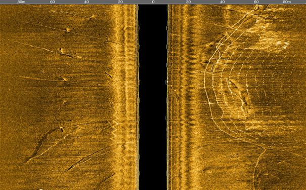
Shark-S450D side scan sonar is a versatile multi-purpose sonar, providing an ideal combination of range and resolution. It is designed with a dual simultaneous frequency operation of 450/900 kHz and advanced digital CHIRP signal processing technology , which is optimized to provide 0.2° narrow horizontal beam width. It is ideally suited for customers that require long range and ultra high resolution images in order to detect very small targets.
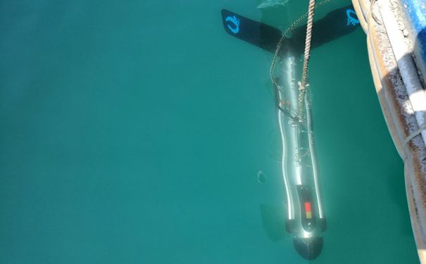
A strong stainless steel towfish, a high strength Kevlar cable, a splashproof deck unit and the OTech software are included in the sonar system. The system is designed with ultra-low power consumption and can be powered with AC or DC power. The sonar is reliable and durable, and can be easily operated by one person.
OTech software is equipped with the function of sonar image display, navigation, data recording and replay, target management and output and sensor information multi-window display. It can output the data with standard XTF format which can be processed with the third party processing software, and also can be customized according to the requirements.
FEATURES
• Dual Frequency, Simultaneous Operation
• Long Range Coverage and Ultra High Resolution Images
• CHIRP and CW Sonar Transmission Modes
• Standard Heading, Pitch, Roll and Pressure Sensors
• Build-in Echosounder, Accurately Tracks Towfish Height
• 316 Stainless Steel Towfish , Depth Rated to 1000m
• OTech Acquisition Software, Free Update
Sonar Specifications | Shark-S450D |
Frequency | 450kHz & 900kHz , Dual Simultaneous |
Pulse Type | CW & LFM CHIRP |
Maximum Range | 150m @ 450kHz;75m @ 900kHz |
Beam Width | Horizontal:0.2°@ 450kHz, 0.2° @ 900kHz; Vertical:45° |
Resolution(h-range) | Along Track:0.003h @450kHz, 0.003h @900kHz;Across Track:1.25cm |
Depression Angle | Tilted Down 10°,15°,20°,Default 15° |
Maximum Depth Rating | 1000m (316 Stainless Steel) |
Standard Towfish Sensors | Roll、Pitch、Heading、Depth、Altitude |
Towfish Size/Weight (air) | 1143mm*105mm (Length*Diameter ) /25kg |
Deck Unit Size /Weight | 170mm*120mm*70mm /0.8kg |
Power Consumption | 110/220VAC , 30W |
Software OTech | Windows,NMEA 0183 Navigation Data Input; OTSS、XTF Output Data Format |
Tow Cable | Kevlar,Standard Length: 50m(Optional);Winches Available |
APPLICATIONS
• Hydrographic Surveys
• Geophysical Surveys
• Cable and Pipeline Surveys
• Wide Area Search and Recovery
• Pier/Harbor Wall Inspections
• Archaeological Surveys
• Wreck Hunting
本文标签:Marine surveying


